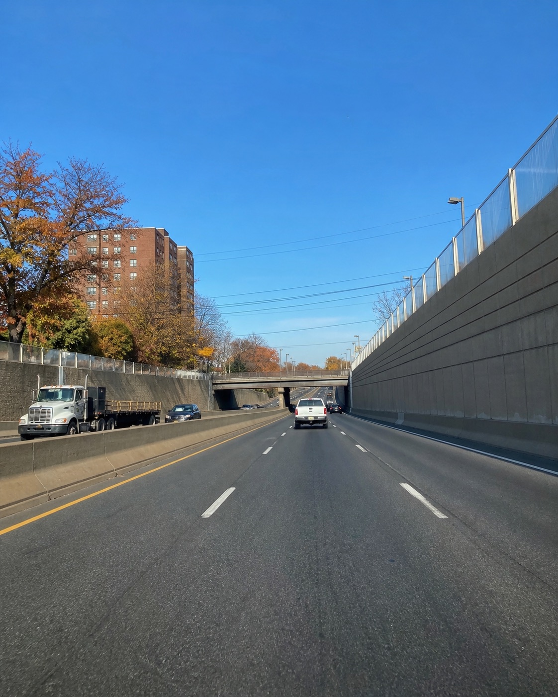
A road reference is stronger when its origin is clear
An account may say “I-280 near East Orange” before the person writing it has checked a street, sign or report. That may be a useful initial reference. The next task is to explain how it was identified. Was the municipality remembered from the drive, supplied by someone afterward or found in a later document? Keeping that origin clear helps a reviewer understand the account as it develops.
If an emergency is still unfolding, seek help and follow responders’ directions. Do not put yourself in traffic to confirm a location. In a safe place afterward, save the initial reference with its limits. You can add a better location later, with its source and date. A record does not have to begin with a precise point to become useful; it needs to preserve how each point came to be understood.
Use the historical diagram for the geographic question
NJDOT’s I-280 diagram identifies East Orange City in Essex County, alongside municipal references to Orange and Newark on the relevant portion. Its inventory date is March 2016. That supports the geographic background in this guide. It does not establish current exit arrangements, traffic lanes, construction or the place of a particular contact.
Save the diagram URL and the page used, and write the question it answered. Perhaps it helped distinguish an East Orange reference from the destination of the journey. A city mentioned in planned directions can explain where you were going without recording where the impact occurred. If a sign or photograph connects your trip to the diagram, retain that connection explicitly. For another drive, consult current official travel information; the inventory is a road reference, not a live account of traffic.
Give the first contact and the stopping place separate names
Vehicles can end up at a different point from the initial contact. Record the approximate first location and the place where the car stopped as separate entries. If only one is known, label the other as unconfirmed. A later address on a vehicle record may identify where it was taken rather than where the collision occurred.
When you make a sketch, include the movement you remember and leave uncertain positions open. Note who supplied each reference. If a passenger recognizes a sign that the driver did not see, record that as the passenger’s observation. If a location comes from a later search, retain the search date and source. These details let another reader trace the description without assuming the entire route or adopting a final location as the starting point of every earlier event.
Document headings and addresses serve particular purposes
A letter, report or service document may carry an office address, a storage address or a location field. Read the label before treating an address as the collision site. Keep the complete document so the context is available. A cropped screenshot containing only an address can lose the explanation of what the address represents.
Write a short note about the field you used and the reason it appeared relevant. If its meaning is unclear, make that a question for the source of the document. Do not edit the original to substitute your preferred location. You can keep your recollection beside it and identify the difference. If a correction or clarification is available, preserve that response with its date. This creates a readable history of the discrepancy instead of making it disappear in a revised summary.
A sign in an image may describe the route ahead
A destination sign visible in a photo can help orient the road view. First establish when and where the image was made, and whether it belongs to the trip. The sign may name a destination farther ahead rather than the municipality occupied by the car at that moment. Preserve the whole image so its surroundings remain available for review.
For an original photograph, note who took it and whether the vehicles had moved. If you received a copy later, retain the message and record the source. If you add an arrow to identify a sign, save the unmarked version too. A generic or later image can serve as background when labeled clearly. It should not appear among event photographs without that distinction, because a reader might otherwise assume it records the same place and time.
Let each observer describe the portion they experienced
Someone can hear a first impact, feel a second movement and only then look outside. Another person may have seen a nearby car beforehand. Keep those experiences with their observers. A combined paragraph can make it appear that everyone saw the same sequence, even when the useful information is that their viewpoints differed.
Save individual notes and date later additions. If someone describes a sign or street they recognized afterward, ask how they identified it and keep that explanation. The aim is a record that lets a reader follow what was observed and what was checked. You can retain contact details privately while using simple source labels in a summary. Avoid asking people to fill a missing movement or location just to make the narrative feel finished.
Use a source list to keep later additions manageable
As documents arrive, give each a short source entry: who supplied it, when you obtained it, the location question it addresses and any uncertainty. A photograph from the stopping place, a removal receipt and a road diagram may all mention the trip while answering different questions. The source list keeps those roles visible.
Store complete originals behind the summary and preserve working copies separately. If a new item changes your location description, date the change and identify the item. Retain the earlier note so someone can understand the development of the record. When sharing files, confirm the recipient and keep a copy of the supplied version. If a formal request, disputed record or legal right is involved, seek individual guidance rather than treating this editorial guide as a procedure that applies to every situation.
Questions to ask before giving a reference more precision
Where did the municipality name come from: memory, an observer, a search or a document?
Does the available address refer to the contact, the stopping place or a later destination?
What does the visible sign name, and was the image made during the trip?
Does the historical diagram support a geographic reference or a claim about current road arrangement?
Which parts of the sequence did each person actually observe?
What changed when a later source arrived, and is that change dated?
Can a reader still inspect the complete original after seeing the summary? These questions can remain open while you obtain more material. They make the limits clear without requiring a new location to be chosen before it has support.
Finish with a location note that shows its reasoning
Prepare a brief note with the initial road reference, the approximate contact point and the stopping place. Link each to its source. Add the municipal background you checked in the diagram, keeping its historical date visible. List later addresses and what their fields mean. Mark unconfirmed connections and the next question that could help resolve one of them.
Keep the collection broad enough that someone can inspect records outside your preferred explanation. The next step may be a clarification from the document’s source or the original version of an image. Injuries Cases Journal provides general editorial information about reading records. It does not reconstruct a real collision, determine fault, give legal or medical advice or promise compensation. Seek an individual professional review when the material concerns a dispute or a document affecting rights.