Give the trip, collision and service locations separate entries
Consider a hypothetical Route 9 file containing a trip message with a Sayreville destination, a collision description giving only the main route and a later vehicle receipt with a service address. Those records can name three different places. The first question is what each writer or document is identifying, rather than which address should be copied onto every later form.
Make a short comparison: destination from the message, event location from the actual account and later service location from the receipt. Then identify the source of any municipality label attached to the event. The phrase “near Sayreville” can orient a reader without settling that narrower question. Keeping the entries separate allows a useful follow-up about the contact point without treating the interrupted trip and the provider's later task as the same activity.
Read the historical road source at the right scale
NJDOT's US 9 historical straight line diagram, last inventoried in July 2013, identifies Sayreville Borough and South Amboy City in Middlesex County on the relevant page. Those municipality labels provide context for a broad Route 9 description. They are labels in a dated road inventory, rather than findings about an individual collision or the current conditions of a particular stretch.
Keep the page number, route title and inventory date in the source note. The diagram can support a statement about the road's geographic context without locating the reader's event inside one municipality. When the event description is still approximate, leave it approximate. A more precise-looking historical diagram should not make the accident account appear more exact than the available observations and event records allow.
Compare a saved destination with the recalled contact type
A map reference may describe the intended destination or an approximate point added during later research. Keep its accompanying explanation. If the traveler adds a pin from memory, label it as that person's approximate indication and note when it was added. If another person supplies it, preserve their wording and role in the account.
The useful next question depends on the actual event description. A recollection of contact while slowing along the main road raises a different location question from one describing contact during an entrance or side-road movement. Those descriptions do not determine fault. They help identify which stage needs an address or other supporting reference. A destination pin can remain useful for the trip while the contact point stays approximate, rather than making an unobserved movement appear to have an exact mapped location.
Ask which stage the service address describes
Read a vehicle receipt or estimate with its surrounding labels. Does its address describe the provider's location, a collection place or another service stage? If the role is unclear, ask the source and retain the explanation with the document. The answer can help place the item in the chronology without changing the collision description.
Suppose a trip message uses Sayreville and a later paper uses South Amboy. First check whether those labels describe the same activity. The historical Route 9 page supplies broad context for both municipality names; it does not resolve their jobs in this particular file. The event account, receipt and clarification should remain distinguishable. A later estimate may also have a new date or version, which identifies the updated document without changing the location or sequence of the earlier contact.
Keep the photograph's viewpoint and source attached
For a scene or vehicle photograph, retain the supplied file and the account that came with it. Ask who took it, which moment it shows and whether the vehicle had already moved. A wider view and a close-up can answer different questions. Make an annotated or cropped copy when it helps explain a question, while keeping the original available for its surrounding context.
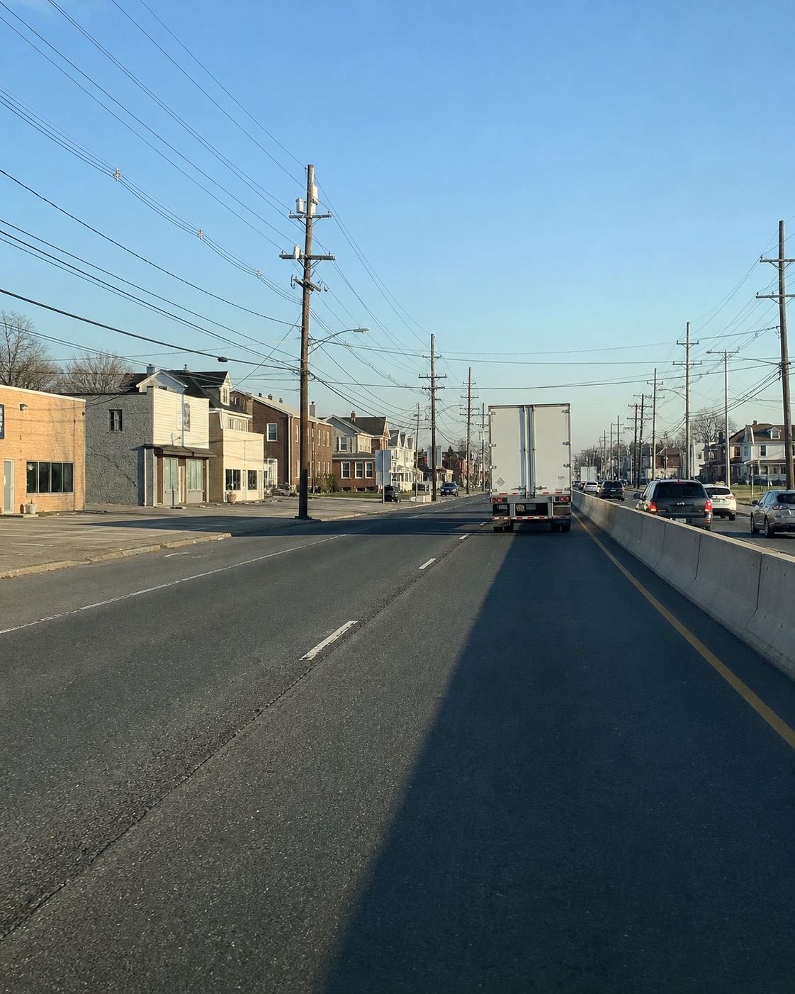
The generated local illustration shows a divided urban road, a truck, buildings and utility poles. It has no identifying route sign and is not a verified Sayreville scene or event photograph. Its apparent detail cannot locate a reader's collision. Use actual available photographs and their source history for that task. The image's editorial role should remain clear when it appears beside a discussion of evidence or a claim record.
Track how the wording traveled between records
When several documents repeat a place phrase, check whether each writer independently supplied it or copied it from an earlier item. Keep a note of the earliest available version and the later uses you can identify. Repetition can make a phrase easy to recognize while leaving its original basis unchanged. The useful question is how the wording entered each record.
A later call note may explain or narrow the phrase. Date that clarification and keep it attributed to the speaker. Avoid inserting it into the older message without an explanation. This allows the working summary to become more useful while preserving the account's history. A reviewer can see which point came from the initial description and which point came from subsequent questioning, rather than assuming that every detail was available to every writer from the beginning.
Describe a difference before trying to resolve it
Write competing labels beside the sources that use them. Then state the actual difference: two municipality names, a road and an access area, or a contact point and a later stop. Check whether the documents are addressing the same stage. A place name can be reasonable within one document's purpose while being incomplete for another question you want the file to answer.
When more information is needed, formulate a narrow request for clarification. You can ask which part of the journey an address describes or where a particular location statement came from. Keep the answer beside the original source. If the answer remains uncertain, preserve that uncertainty in the summary. The source-reading task is to make the distinction understandable, not to select a label simply because it is more convenient to repeat on every future form.
Give damage and paperwork their own evidential scope
A photograph of visible vehicle damage, an estimate and a statement about how contact occurred have different sources and purposes. Keep the provider, document date and version attached to an estimate. Keep the photographer's account beside an image. If a summary makes a connection between these materials, identify that as an explanation that still needs support from the appropriate records.
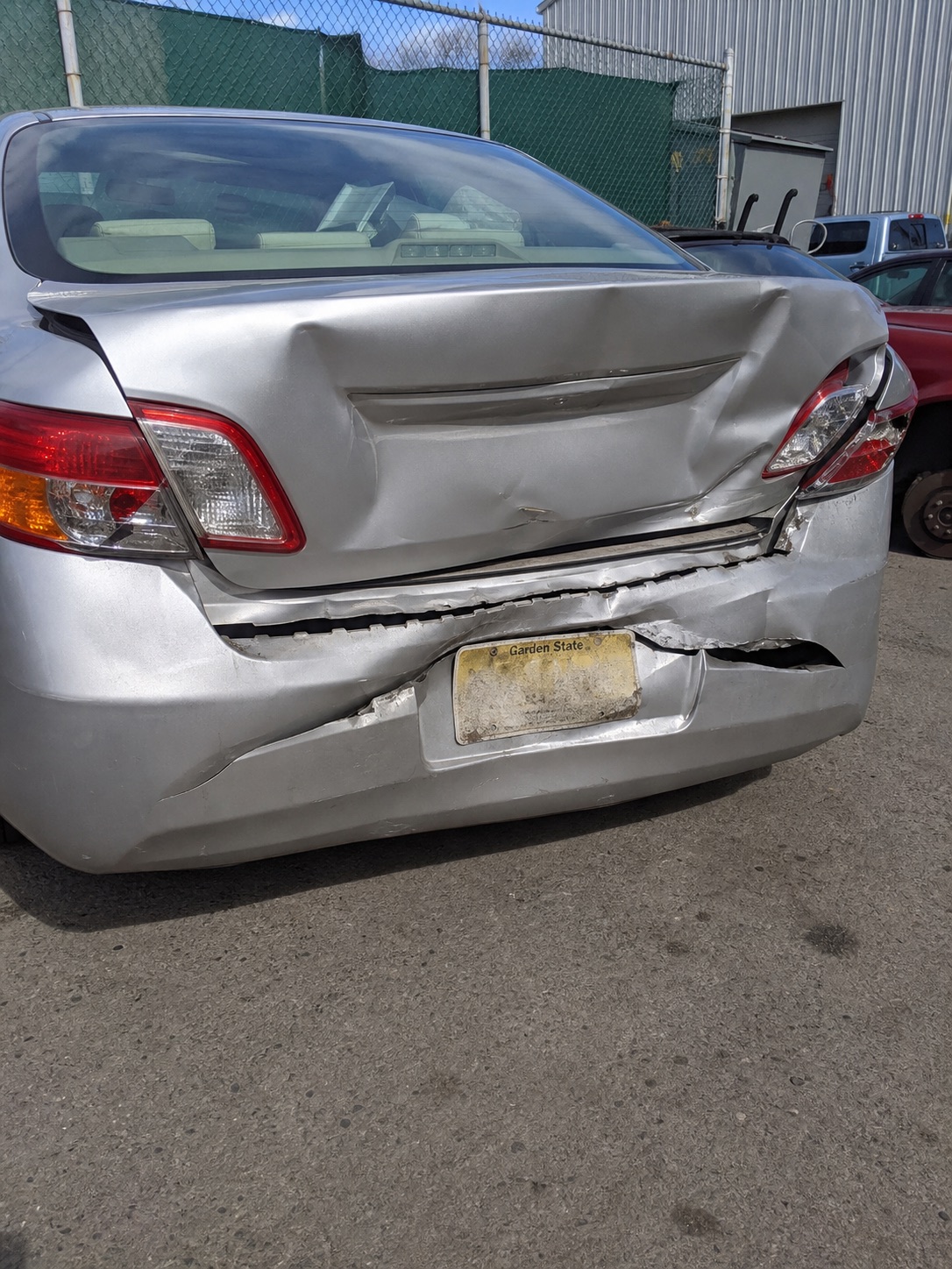
The generated damage picture in this guide is neither an assessment of a reader's vehicle nor evidence of responsibility. Similarly, the blank cards and paper are illustrative and contain no actual claim information. Your own records should be stored securely and shared for a specific, understood purpose. A careful file can preserve what each item shows while keeping the separate questions about cause, document scope and the next requested step available for qualified review.
Use a place-and-purpose checklist
Ask five questions of the source set. Destination: what place does the trip message identify? Contact: what road and movement does the event account actually describe? Municipality: where did that label enter the account? Service: what activity does the later address identify? Photograph: which moment and viewpoint are supplied with the image?
Keep a pointer to the relevant original beside each answer. If two labels still conflict, make the question about that specific difference rather than treating one record as a complete explanation. The historical inventory supplies geographic background while event and service records retain their own purposes. This guide offers editorial ways to read a Route 9 file, not findings about fault, benefits or compensation. A focused source note can give the next reader a practical task without claiming more precision than the materials support.